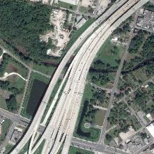
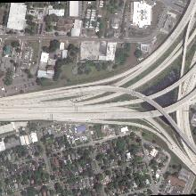
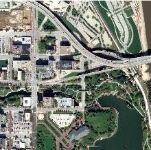
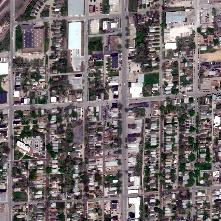
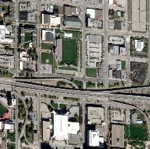
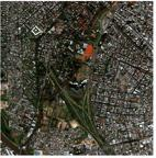
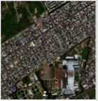
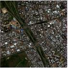
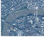
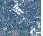
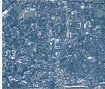
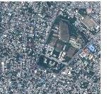
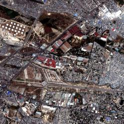
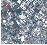
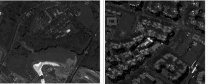
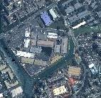
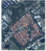
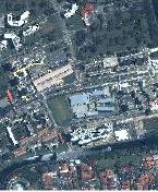
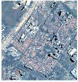
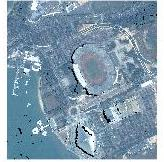
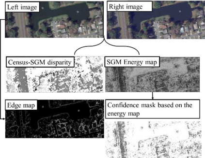
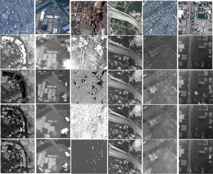
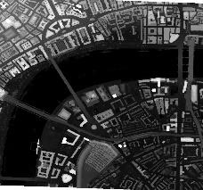
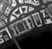
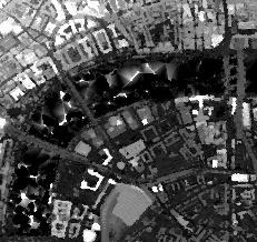
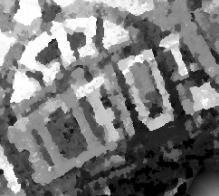
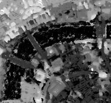
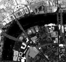
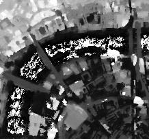
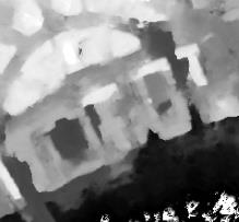
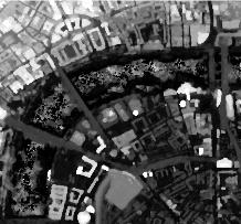
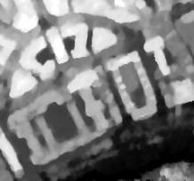
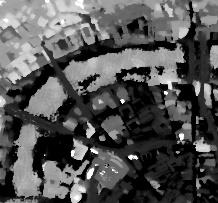
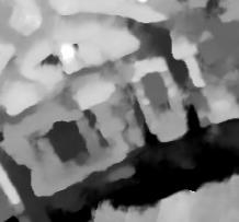
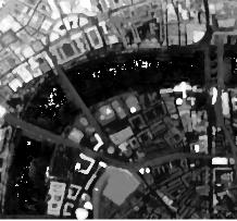
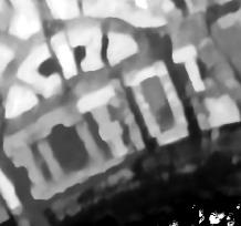
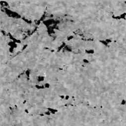
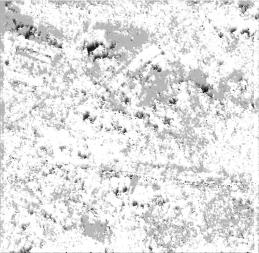
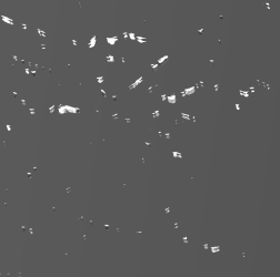
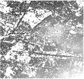
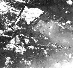
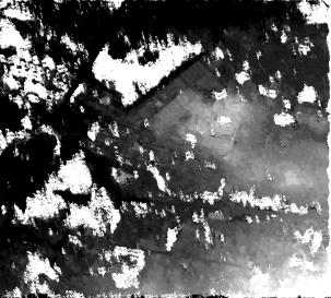
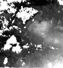
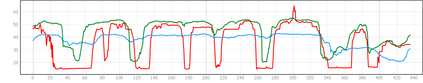
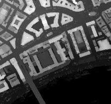
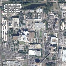
Deep learning (DL) methods are widely investigated for stereo image matching tasks due to their reported high accuracies. However, their transferability/generalization capabilities are limited by the instances seen in the training data. With satellite images covering large-scale areas with variances in locations, content, land covers, and spatial patterns, we expect their performances to be impacted. Increasing the number and diversity of training data is always an option, but with the ground-truth disparity being limited in remote sensing due to its high cost, it is almost impossible to obtain the ground-truth for all locations. Knowing that classical stereo matching methods such as Census-based semi-global-matching (SGM) are widely adopted to process different types of stereo data, we therefore, propose a finetuning method that takes advantage of disparity maps derived from SGM on target stereo data. Our proposed method adopts a simple scheme that uses the energy map derived from the SGM algorithm to select high confidence disparity measurements, at the same utilizing the images to limit these selected disparity measurements on texture-rich regions. Our approach aims to investigate the possibility of improving the transferability of current DL methods to unseen target data without having their ground truth as a requirement. To perform a comprehensive study, we select 20 study-sites around the world to cover a variety of complexities and densities. We choose well-established DL methods like geometric and context network (GCNet), pyramid stereo matching network (PSMNet), and LEAStereo for evaluation. Our results indicate an improvement in the transferability of the DL methods across different regions visually and numerically.
翻译:深层学习(DL)方法由于据报立体图像匹配任务被广泛调查,因为据报告,立体图像匹配任务的成本很高,但其可转移性/普及性能力受到培训数据中出现的情况的限制。由于卫星图像覆盖地点、内容、土地覆盖和空间模式差异的大型区域,我们预计其性能会受到影响。增加培训数据的数量和多样性总是一种选择,但在遥感方面,地面-真实性差异因其成本高而有限,几乎不可能获得所有地点的地面真相。了解传统立体匹配方法,如基于普查的半全球网络匹配(SGM)被广泛用于处理不同类型的立体数据。因此,我们提出一个微调方法,利用从SGM获得的差异图在目标立体数据上产生的效果。我们提议的方法采用一个简单的方法,利用从SGM算算得出的能源图来选择高度信任差异的测量方法,同时利用图像来限制所有地点的地貌差异测量。我们的方法旨在调查改进当前DLLL网络半全球匹配(SGM)网络的可转移性,以及直径性网络的精确性数据转换结果,我们在地面研究中可以选择一种了解的精确性数据。